 Overcast and windy this early Monday on California’s north coast, and on occasion, big rain droplets, but no downpour so far.
Decent storms forecast for this week, accompanied, of course, by those sharp, gusty winds.
Transfer that air surge to the ocean, and a High Surf Advisory, with the NWS warning to be careful rescuing pets: ‘Dogs can swim much better than people and they almost always get out on their own.’
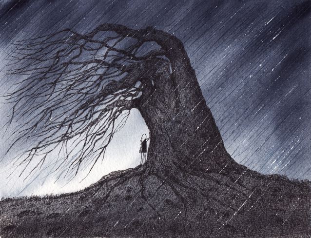
(Illustration found here).
Wha…’almost always‘ make it out alive?
Totally unscientific terminology there, more of a moral/philosophical warning with a great-hint of physical law inter-action. There’s a lot of shit all of us ‘almost always‘ get through, but crap, the words do mean there’s been a fuck-up sometime or another.
In this current surge of High Surf along the California coast, the influence of the big-bad El Niño on the breaking shoreline should be interesting, and a high-surfboard test.
From Wake,Wind&Surf last month:
“Any veteran surfer will tell you that the three previous major El Niño seasons in modern history produced the most extraordinary big wave seasons of all time and we’ve all been warned that this one is of the same caliber,” said Bill Sharp, the director of the WSL Big Wave Awards.
“The difference is that today the surfing community has developed the capability to potentially ride any wave the ocean can produce and has been actively training to be ready for whatever does come.
“The waves of January and February 1998 were the biggest we’ve ever seen,” recalls Sharp, “but the idea of using watercraft to access big waves was only in its infancy and since then paddle surfing has reached another level as well.
“Where we were 18 years ago was Wright Brothers stuff versus today’s Space Age capabilities in surf of that size. I don’t think you’ll find a single big wave surfer who doesn’t have the sense that everything we know about the limits of both paddle and tow surfing will be heavily tested — and perhaps totally rewritten — over the next four months.”
…
Kevin Wallis, lead forecaster at Surfline.com, has analyzed the data of these past weather events and emphasizes that while the big wave surfing community can expect a continuation of action in the coming weeks, the full brunt of the mega-El Niño will likely occur after the holidays.
“In past strong or very strong El Niño years we’ve seen a number of incredible storms, often back-to-back, very close to Hawaii and very close to the West Coast. Within these stronger systems we may see seas up to fifty to sixty feet — maybe even bigger than that — and we could experience some of the strongest storms we’ve seen in the last ten years, if not the last 30 years,” said Wallis.
“These storms have been known to produce incredible numbers, with hurricane force winds blowing over vast areas of the ocean.”
And the havoc produced will churn — from San Jose Inside a couple of weeks ago:
“It’s right on schedule,” says Nate Mantua, Ph.D., a climate scientist for NOAA’s Southwest Fishery Science Center.
“I checked [last week], and temperatures in Southern California are about 5 degrees Celsius warmer than normal, or almost 10 degrees Fahrenheit warmer than normal. Local waters are 5.5 degrees Fahrenheit above average, or in the low- to mid-60s, depending what the wind is doing.”
…
The oceans are warming, the trade winds have already died down, and the usually bone-dry Atacama desert in northern Chile and southern Peru is blooming—a telltale sign that El Niño is upon us.
There’s just one thing: if El Niño was, in fact, a boy child gathering strength inside the womb of the Pacific, his sonogram would be atypical, to say the least.
Admittedly, there’s that unmistakable band of warm water bulging along the equator — El Niño’s hallmark — but there are also large masses of warm water, creatively dubbed “the warm blob,” extending, as we have never seen before, from coastal U.S. and Mexico as far north as Alaska.
“We’ve got this incredible warming of the higher latitudes of the Pacific Ocean,” says Mantua,
“and ocean temperatures have been record-high for the last two years. That makes this year unlike anything in our historical record.”
Even with El Niño’s strength and size, there’s no one-size-fits-all to the phenomenon — Gary Griggs, Ph.D., Distinguished Professor of Earth and Planetary Sciences at UC-Santa Cruz:
“It’s like all earthquakes aren’t the same—all floods aren’t the same, and all El Niños are not the same. I’m not sure if people fully understand that,” says Griggs.
“I think in terms of flooding, what people are doing is trying to clean out storm drains and get sandbags ready and make sure your roof gutters are clean, which helps the water get out faster.”
Even so, “You can’t stop sea levels from rising and you can’t stop the waves from coming,” says Griggs.
Surf conforms almost-always…