 A white landscape this early Monday on California’s north coast, snow flurries mixed with hail has left the area looking out of whack.
Odd to see all white. Roadways, driveways, rooftops, the texture soft on top, cold and slippery underneath.
According to the NWS this morning: ‘Coastal areas, even as low as sea level, may see a few snow flakes but little to no accumulation is expected in these areas.’ Sorry, wrong — much ‘accumulation,’ no snowbanks, however..
And right now, there’s sunshine, bright and glaring off the whiteness. Normal oddity with these northern storms — unlike those ‘atmospheric rivers‘ we encountered earlier in the season, there’s occasionally sparkling sunshine in these cold, Arctic storm-systems, big gaps in the clouds, allowing some open sky for awhile. Short-lasting, as also right now a deep-gray, somber-looking cloud mass is westward, darkly heading our way.
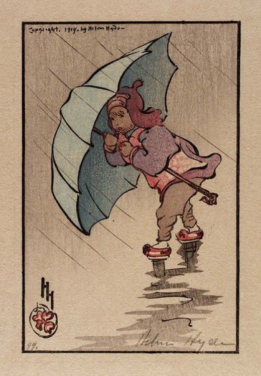
(Illustration: ‘The Blue Umbrella 1914,’ by Helen Hyde, found here)
Supposedly, the snow/hail will flow into ‘Showers‘ for the rest of today and tonight — again right now the NWS is calling it ‘Light Showers.’ Fairly-light rain, too, in this cycle, with less than half-an-inch figured for this go-around.
Also again we’re under a ‘Winter Weather Advisory,’ warning heavy-snow levels could drop to about 1,000-feet with 4-to-7 inches of snow forecast for some inland areas. And ‘snow flakes‘ along the coast.
This synopsis from the Northern California Weather Blog this morning — forecast for mostly the interior, the Redding area, but still a good insight into the overall out-of-doors:
Very complex and interesting weather pattern continues to develop.
A cold low pressure area is now along the Southern Oregon/Northern California coast.
This has pushed a very cold airmass over the north state but there isn’t a lot of moisture associated with it.
However, starting late today the low will move back to the west and this will allow it to merge with the warmer moister low pressure area that is out in the Pacific.
The warmer moister air will collide with the colder airmass over Northern California late tonight and Tuesday.
The low will then move eastward across our area on Wednesday.
We’ll get the initial blunt, but inland will get more of the white.
A new year’s freaky-peaky…