 Darkly-overcast this Friday morning on California’s north coast, a foreshadowing of rainstorms to come — rain supposedly for at least the next 10 days.
According to the NWS, off an alliterating forecast of ‘Wet Weekend Weather,’ a large block of wet will swamp the region with some level of precipitation until at least toward the middle of next week.
Apparently, we’re already getting drenched this just-started rain season. This week, the NWS released preliminary rainfall totals for October, and the numbers are up there — my little spot here in Mckinleyville received just a bit more than 12-inches last month, and with the norm set at under three-inches, we were 419-percent of normal for the period.
Yikes!
Unequal the rain though — the NWS has issued a ‘Red Flag Weather Warning‘ for SoCal, the dry, windy conditions down there ripe for ‘extreme fire behavior.’
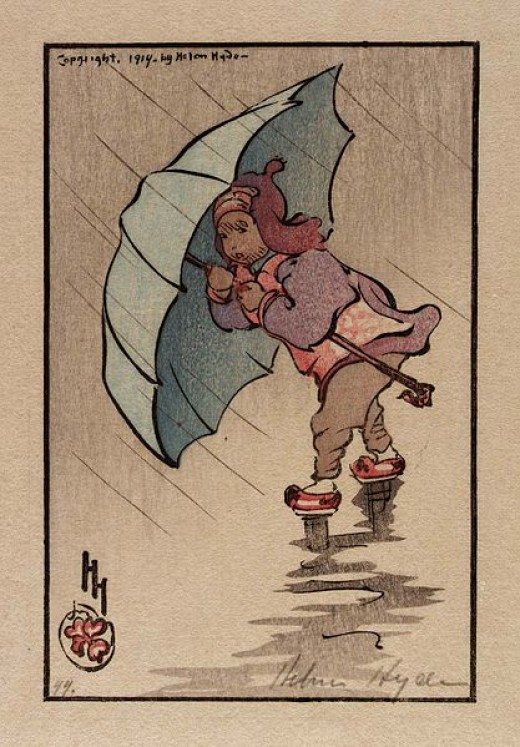
(Illustration: ‘The Blue Umbrella 1914,’ by Helen Hyde, found here).
And we’re lush-green in the north — drinking-water good, though, as the big, major reservoirs for the state are located up here, and they’re getting full.
October’s rainfall totals aided-and-abetted — Via Capital Public Radio:
“We are almost 400 percent of the normal amount of rain in October here in the north and even the San Joaquin and Tulare regions are well above their averages as well,” says Doug Carlson with the California Department of Water Resources.
“But if history tells us anything it’s don’t predict what the weather is going to be two or three weeks from now.”
Carlson also says all the rain doesn’t mean California is out of the drought.
Sixty-one percent of the state remains in severe drought.
Much of the rain that has fallen has soaked into the ground, rather than filling up reservoirs.
Water storage in Lake Shasta, the state’s largest reservoir, is now at its historical average for this time of year.
But only three of the state’s 12 major reservoirs hold their historical average.
Weather a shifting — rain on the West Coast has abruptly changed from last season — wet, wetter weather (alliterate that NWS!).
From WXShift:
The shift in weather patterns that has increased the frequency of storms in the Pacific Northwest is consistent with a developing La Niña, or colder than normal water in the Pacific Ocean near the equator.
La Niña favors a jet stream pattern which more consistently sends storms into the Pacific Northwest, leaving the Southwest drier than normal.
This also means the ongoing drought in California will probably get worse.
While the water along the equator in the Pacific is a little cooler than normal, it has not been cool enough for long enough to be officially classified as a La Niña.
According the National Oceanic and Atmospheric Administration, for a La Niña to be officially declared, the temperature in the central Pacific should be at least 0.5°C (0.9°F) below normal for three months in a row.
…
In the shorter term, the recent heavy rain with the parade of storms on the West Coast has been amplified by an atmospheric river.
This is a narrow ribbon of high moisture content in the atmosphere that follows the flow of the jet stream, funneling moisture out of the tropics.
According to NOAA, these atmospheric rivers account for 30 to 50 percent of the annual precipitation to the West Coast.
Of course. that noted La Niña is really effecting the US Southeast, where a drought has only intensified, creating massive forest fires, now about 30 blazing across the region.
Rising rain ripples roundabout…