Deeply-overcast and humid this late-afternoon Wednesday here in California’s Central Valley as we await a wet, wild weather front coming our way — earlier today the fabled “pineapple express” surging out from warm Hawaiian waters dropped into/onto coastal areas and it’s only matter of time.
Reportedly, the valley will be getting rain and wind off that ‘express‘ starting maybe this evening and into tomorrow morning.
In the run-up to our first major storm of the year, I’ve developed more than a little fearfulness — I’ve got an appointment tomorrow afternoon at the Fresno VA hospital, which is about an hour south on California 99, a four-lane, terror-racked, shitty ride even in super-ideal conditions. And in the rain, will be an anxiety-inducing trip.
The appointment is a pre-op for cataract eye surgery scheduled for next week.
Our current weather pattern is the first of two ‘atmospheric rivers‘ (ARs) that’s slated for California this week — a second one, noted to be even more ferocious, is set for Sunday or Monday. Those ARs are a product of warm water sucked northward from the South Pacific Ocean and onto the West Coast.
And are potent: ‘The impact of these storms is a paradox. Atmospheric rivers generally provide precipitation critical to a region’s water cycle. These massive rivers, which sometimes carry 15 times the water volume of the Mississippi River, deliver half of the western United States’ total precipitation in less than 15 total days. But too much rain in a short amount of time can have devastating effects on communities. Atmospheric rivers account for nearly 90 percent of California’s flood damage. Infrastructure has been destroyed and more than a dozen people have been killed by the storms of the past two weeks.’
Our present storm system zones:
For a technical discussion on what to expect, take a look at the WPC's mesoscale discussion. The heavier rain band we're anticipating to move through later this afternoon/evening has moved through Eureka, which brought heavy rain rates and flooding to our north. #CAwx https://t.co/MkOZeFcKCQ
— NWS Bay Area ? (@NWSBayArea) January 31, 2024
And the forecast for my specific area, close to home:
An atmospheric river will bring heavy precipitation to Central California this evening through Thursday morning. Thunderstorms are possible Thursday afternoon and evening. Excessive rainfall in the Sierra Nevada below 5,000 feet and adjacent foothills may cause flooding. #CAwx pic.twitter.com/LYRxXsAjuA
— NWS Hanford (@NWSHanford) January 31, 2024
This seems like a replay of last year’s wet, dangerous-looking weather at the start, although, this season seems late in coming — supposedly the first, real wet spot on a generally dry-like situation. These storms this week could change the living style of about 20 million Californians for a while.
Although here in the southern half of the Central Valley, the San Joaquin Valley (northern part, the Sacramento Valley), we usually don’t catch the hard rain and winds the coasts and northern areas undergo with these weather episodes. We’ll get some rain, but hopefully it’s not much. However, those ARs do carry weigh.
And the above-mentioned anxiety — via the Guardian also late this afternoon:
Both “pineapple express” atmospheric river systems – which pull streams of moisture from the Pacific near the Hawaiian islands before making landfall along the west coast – have the potential to wreak havoc, especially in vulnerable areas where past wildfires have left burn scars, or where the landscape has already been saturated by previous rains. The storms will also dump heavy snow over the Sierra and intermountain west region and churn up high surf along the coasts.
[…]
The storms have put residents on edge. Last winter, California was battered by a string of atmospheric rivers that unleashed extraordinary amounts of rain, causing flooding and waves that hammered shoreline communities, as well as extraordinary snowfall that crushed buildings. More than 20 people were killed by the historic weather.
The memory was in mind in Capitola, along Monterey Bay, as Joshua Whitby brought in sandbags and considered boarding up the restaurant Zelda’s on the Beach, where he is kitchen manager.
“There’s absolutely always a little bit of PTSD going on with this just because of how much damage we did take last year,” Whitby said.
Even though Wednesday’s storm could deliver some damaging impacts, the stronger system is expected later into the week. “All of the ingredients,” Swain said, “will be in place for a potentially very high-impact storm on Sunday-Monday.” Noting that the details are still uncertain, he added that heavy, widespread precipitation and damaging winds are likely in store for southern California.
While the storms would be intense on their own, the biggest problems could be posed by their cumulative impact, especially in areas already saturated from previous downpours. Communities in San Diego and Ventura counties are still grappling with the aftermath of serious flooding this winter and both areas are going to see significant rainfall this week.
Along with potentially damaging rains and winds, forecasters said the storms could dump a fresh layer of snow in the mountains, a promising sign for the meager snowpack that’s now just 52% of average. The second snow survey of the year, conducted Tuesday, showed a big improvement from last month, which stood at just 28% of average. Snow is a critical part of California’s water supply, acting as a kind of water savings account for the year ahead.
“Even though the storms during January slightly helped out our snowpack, we’re only about halfway of where we should be for this time of year,” said Sean de Guzman, the flood operations manager for the department of water resources.
In context of the ARs, a new study on the weather phenom from California’s Stanford University, and my old alma mater, the University of Florida:
Analyzing 30 years of weather and economic loss data, the team discovered that when atmospheric rivers occur sequentially, the economic damage more than triples the expected losses compared to standalone events. These findings surpass initial expectations, showing the negative impacts of consecutive atmospheric river occurrences.
These elongated regions, often described as ‘rivers in the sky,’ are responsible for transporting a large portion of water vapor outside the tropics. Their strength varies, with the average river carrying water vapor roughly equivalent to the flow at the mouth of the Mississippi River. In extreme cases, they can transport up to 15 times that quantity. Upon landfall, they release moisture as rain or snow.
While atmospheric rivers contribute approximately half of California’s annual precipitation and replenish the state’s snowpack, they can also be associated with extreme events that lead to catastrophic damage.
The study, published Jan. 19 in Science Advances (opens in new tab), highlights atmospheric rivers’ crucial role in providing up to half the region’s annual water while emphasizing the challenge of managing substantial water delivery in short time spans.
“When it rains, it can take a while for that rain to move through a watershed naturally, and in many places, we also trap water in reservoirs for use during dry conditions for irrigation and other purposes,” Serafin (UF geographer Kart Serafin) said. “Emergency and water managers are constantly balancing flood risks with water shortage needs, especially in states like California where you move between exceptionally dry and exceptionally wet years.”
Meanwhile, we continue onward. Tomorrow at least, my appointment isn’t until the afternoon, so there’s some space to play. My daughter’s driving, and though she’s good at the wheel, and safe-acting-thinking, I’ll be no sharp pins and needles the whole trip.
So, let’s sweet Baby James close out this humid river of anxious wet:
Pineapple on express, or not, yet once again here we are…
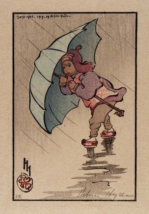
 (Illustration out front: ‘The Blue Umbrella,” (1914), color woodcut on paper, by Helen Hyde, and found here.)